We left Hays about 12:30 PM, after lunch at Arby's. Driving time to Denver was about five hours. We had been invited to stay with Dick's MIT roommate Steve and his wife Debbie. Dick approximated their location in Aurora on our Magellan SporTrak Map GPS and we followed our progress there using its GOTO function.
We started the day at about 2100 feet elevation and ended at 6000 feet at Steve and Debbie's. It was in the 90s when we left Hays and slowly dropped to the 80s by the time we reached Denver.
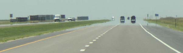
Driving in western Kansas, there was enough heat radiating from the pavement to occasionally generate a mirage.
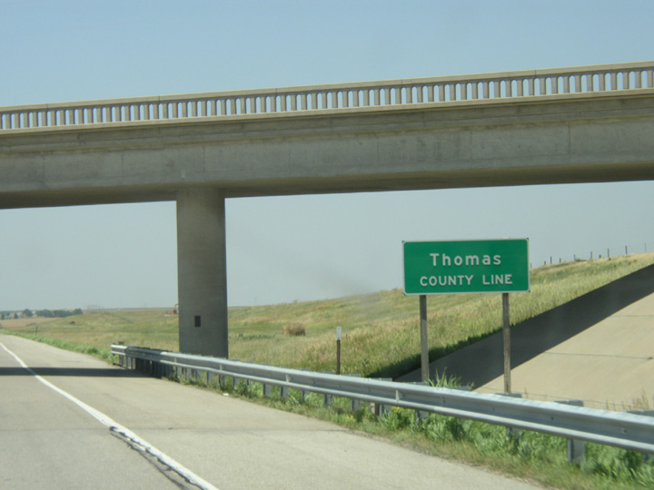
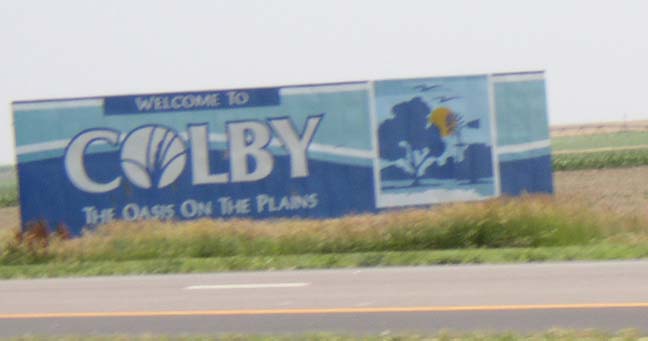
Colby, the Oasis on the Plains, is the seat of Thomas County, Kansas.
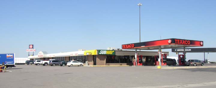
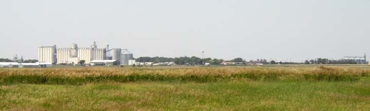
Every town we passed had its grain elevator complex. Our route was paralleled by the railroad.
This elevator was in Goodland, Kansas, the first town in the Mountain time zone. As we passed Goodland, we saw conifers used as windbreaks for the first time.
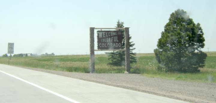
Welcome to Colorful Colorado, 2:08 PM MDT
We stopped for ice cream at Limon, Colorado, pronounced LIME-un. Here, we stopped for one last pit stop just before the Denver Airport exit.
Thomas is standing to the left, just (almost) out of the picture, patiently waiting for his dad to get on with it and finish taking pictures.